Digital Maps
Get digital maps of Klang Valley and Malaysia to plan your marketing strategies and drive sales. Postcode, gender, ethnic, age and income maps are available.
Digital Maps Klang Valley
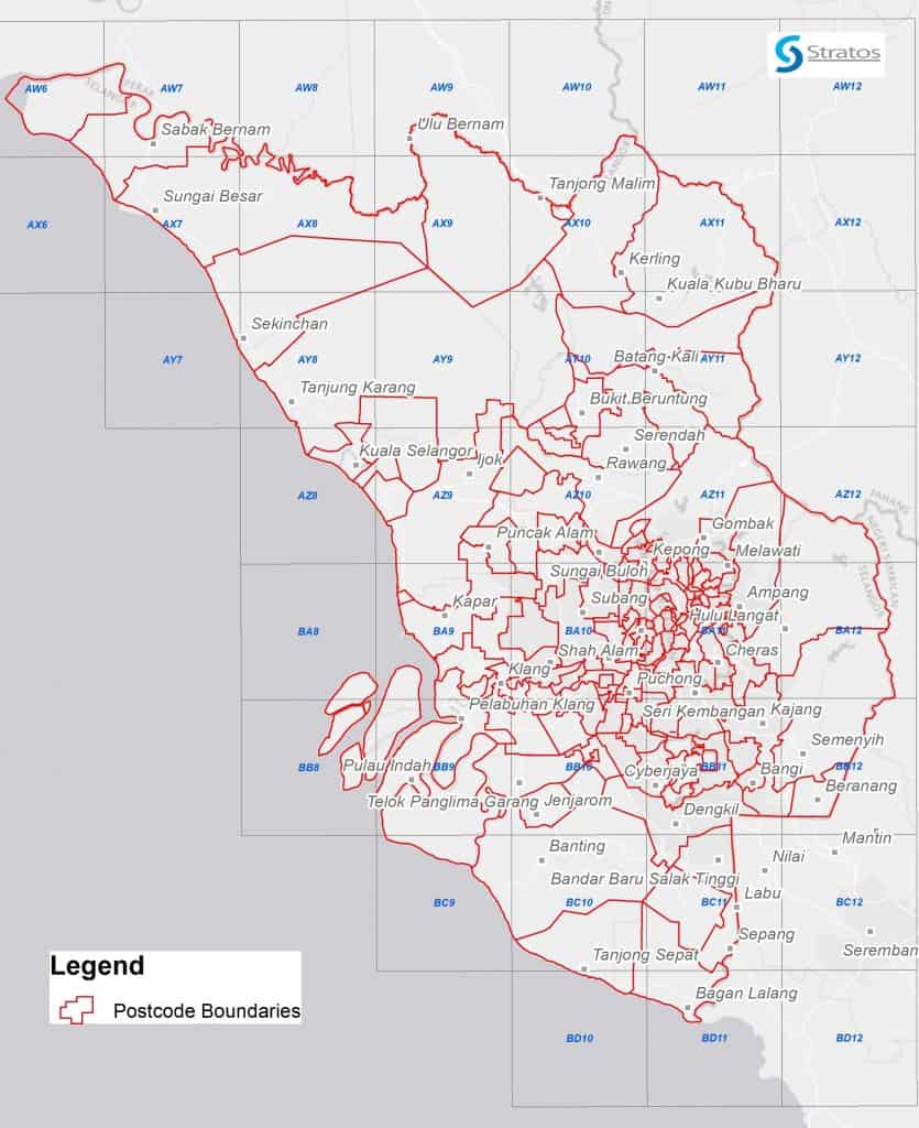
Klang Valley Postcode Map
Get access to comprehensive postcode boundaries, which are a useful tool for customer tracking and marketing. This digital map covers the capital and most populous region in Malaysia, i.e. Kuala Lumpur, Selangor and Putrajaya.
The map is divided into 36 postcode sectors, to allow users to conduct more detailed analysis and studies in the Klang Valley area.
It contains approximately 149 postcode boundaries for the districts of Selangor, Kuala Lumpur and Putrajaya.
Recommended for market researchers, retailers, malls and other industries.
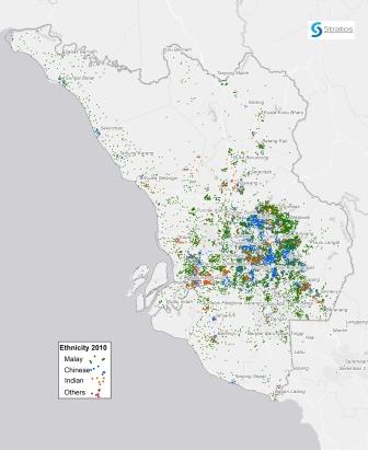
Klang Valley Ethnicity Map
Reach your potential customers better with this digital map, which displays the geographical distribution of Malaysia’s three main ethnic groups, namely the Malays, Chinese and Indians. Know where and how ethnic clusters are located, for your market positioning, outlet location, marketing campaign and sales strategies.
This map is based on the last Census conducted by Department of Statistics Malaysia (DOSM) in 2010. Each dot represents a certain number of persons, and is color-coded by ethnicity.
For more recent and detailed ethnic distribution maps, please contact us.
Recommended for academicians, market researchers, retailers, malls, developers and other industries.
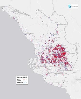
Klang Valley Gender Map
Each gender has their own product, brand preferences and psychographic orientations.
Know how to target your market better using this digital map.
The map is based on the last Census conducted by Department of Statistics Malaysia (DOSM) in 2010. Each dot represents a certain number of persons, and is color-coded by gender.
For more recent and detailed gender distribution maps, please contact us.
Recommended for academicians, market researchers, retailers, malls, developers and other industries.

Klang Valley Age Map
Age is another important market segmentation variable, apart from gender, ethnicity and income.
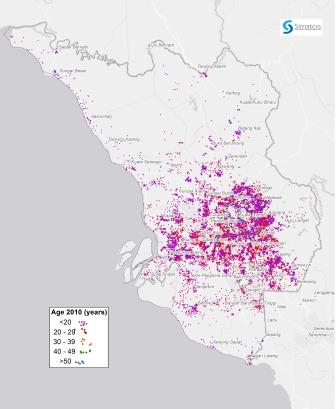
Easily visualise the age distribution in Klang Valley – where older and younger residents are located – on this map. It will help you to plan outlet locations, marketing campaigns and sales strategies.
This digital map is based on the last Census conducted by Department of Statistics Malaysia (DOSM) in 2010. Each dot represents a certain number of persons, and is color-coded by age group.
For more recent and detailed age distribution maps, please contact us.
Recommended for academicians, market researchers, retailers, malls, developers and other industries.
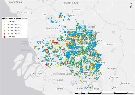
Klang Valley Income Map
Increase your sales by understanding the market better through this monthly household income (MHI) map of residents in the Klang Valley.
This digital map is collated based on actual data collected by Stratos through the extensive surveys it has conducted.
For income maps in other areas outside Klang Valley, please contact us.
Recommended for academicians, market researchers, retailers, malls, developers and other industries.
Create Your Custom Area Map
Talk to a Map Specialist:
